Best Day Trips From San Francisco Locals Recommend
The city ends at the toll plaza. Everything past it is thirty minutes to three hours of coastline, redwoods, vineyard, and bay, and the locals who actually leave on weekends have opinions about where.
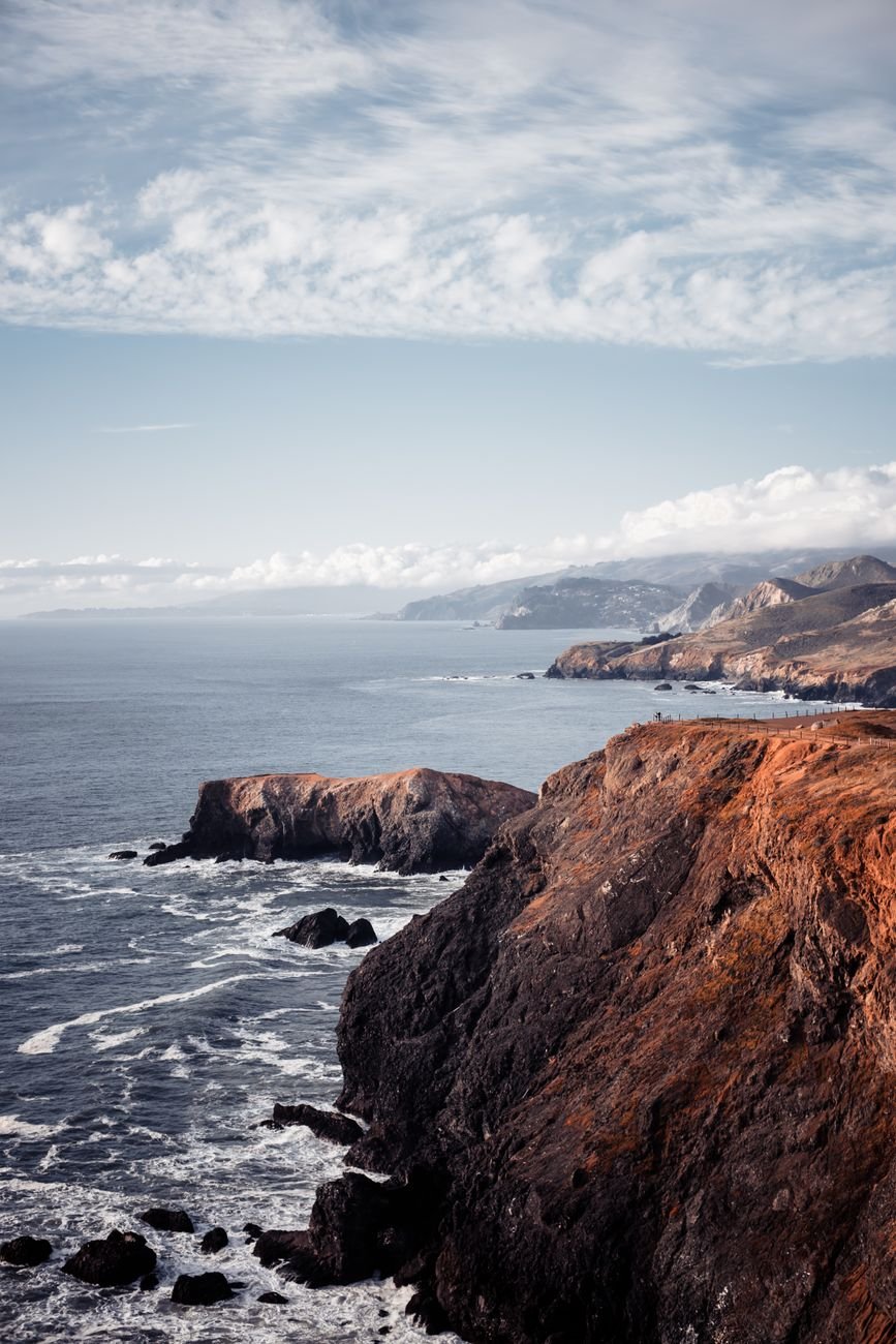
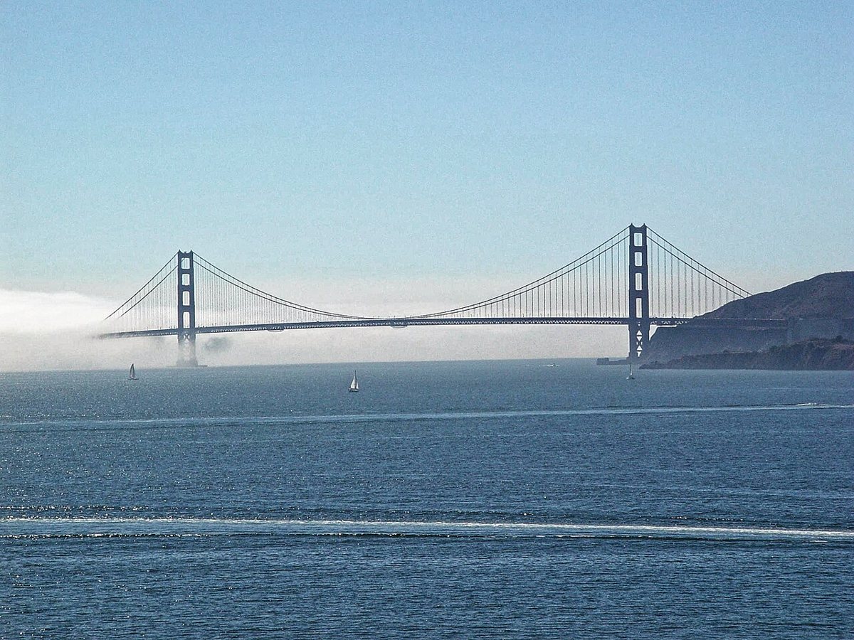
Somewhere around the north tower of the Golden Gate Bridge, the fog quits. It happens fast enough to watch in the rearview mirror, a gray wall receding while the Marin Headlands go gold and green ahead. Ten minutes earlier you were scraping frost off a windshield in the Sunset. Now you're driving into a different climate, and the day has barely started. This is the trick every longtime resident learns: the city holds its weather hostage, but the exits don't. That's the case for the best day trips from San Francisco. Not novelty, but relief, and a reminder of how much geography surrounds a town that can feel, some mornings, like the entire world.
What follows isn't a bucket list assembled from a rental car brochure. It's organized the way people here actually think about escape routes: north over the bridge into Marin and the outer coast, further north into wine country, east across the bay to Berkeley and Oakland, south down Highway 1, and inland toward the redwoods that made this region famous before anyone had heard of a search engine. Pick a direction based on your mood and the forecast, because in this part of Northern California, the forecast changes everything.
The Best Day Trips From San Francisco, Sorted by Direction
Ask five residents for their favorite escape and you'll get five different answers, usually delivered with some heat. A Sunset District surfer will send you south on Highway 1 without a second thought. A Mission old-timer with a case of Sonoma pinot in the trunk will insist wine country beats the coast every time. Someone who grew up in the East Bay will point out, fairly, that Berkeley gets skipped constantly by people chasing ocean views when it's twenty minutes away by train. None of them are wrong. The list below tries to hold all of that at once, organized by compass direction rather than by hype, so you can match the trip to the weather, the traffic, and how much driving you actually want to do.
North Over the Bridge: Marin and the Wilder Coast
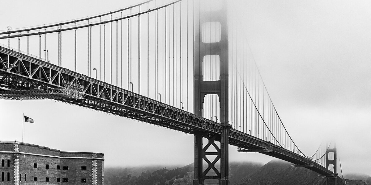
Cross the Golden Gate Bridge on a clear morning and the payoff starts immediately, before you've even reached an exit. Walk it if you have the legs and the time, or just watch it from the passenger seat as the towers slide by. Either way, this is the hinge point of nearly every trip on this list, the place where the city's fog bank gives way to the rest of Northern California.

Muir Woods National Monument
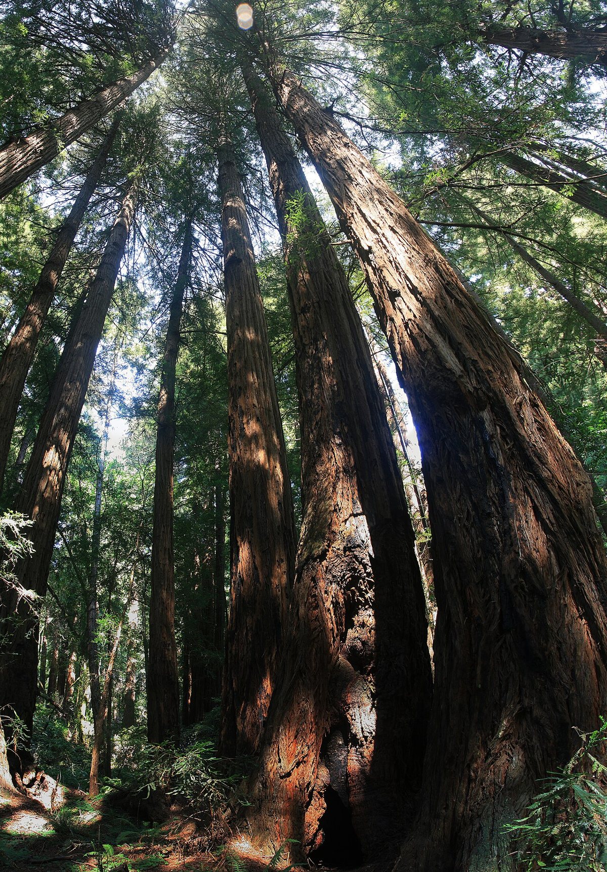
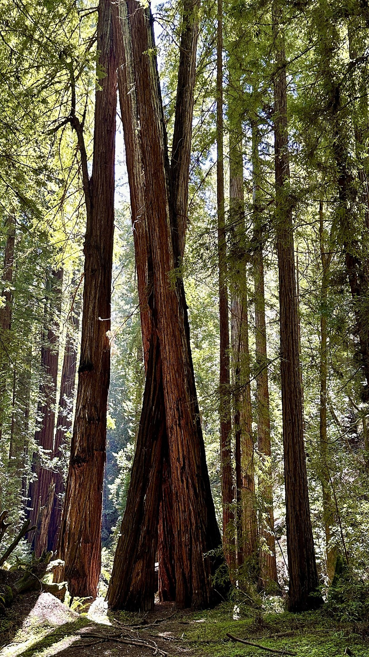
Fifteen minutes past the bridge, the road narrows and the redwoods take over. Muir Woods protects one of the last old-growth coast redwood groves this close to a major city, and the effect of standing under trees that were already centuries old when the mission was founded tends to quiet even the chattiest visitor. The main loop along Redwood Creek is flat and paved, manageable for almost anyone, while the Ben Johnson and Dipsea trails climb into quieter, less-photographed corners of the grove. Reservations for parking or the shuttle are required in general, so sort that out before you drive down, not after. Locals who want the grove without the crowds go on a weekday morning, right at opening, when the light comes through the canopy in shafts and the loudest sound is a creek.

Mount Tamalpais
Keep climbing past Muir Woods and you reach Mount Tamalpais, the peak that shows up in the background of half the postcards ever sold in Fisherman's Wharf. On a clear day, the summit views take in the bridge, the bay, the Farallon Islands, and the Sierra Nevada in the distance, which is a genuinely rare kind of panorama for a mountain you can drive most of the way up. Hikers have hundreds of miles of trail to choose from, from the punishing Steep Ravine to gentler fire roads that loop through oak woodland and past old quarry sites. The insider move is to time a visit for late afternoon, when the tourist buses have thinned out and the light turns the grasslands amber. Getting there by car is straightforward via Highway 1 or Panoramic Highway; there's no direct transit to the summit, so this is one for drivers or cyclists with strong legs. Bring water and sun protection even on a foggy day in the city, since the mountain sits above the marine layer more often than not and burns visitors who assumed the gray skies downtown would follow them up.
Stinson Beach
Down the other side of the mountain sits Stinson Beach, a wide stretch of sand that, on the rare hot day, fills up with people who drove an hour specifically because the ocean here is actually swimmable, at least by Northern California standards. Most of the year it's cooler and windier than that description implies, which is fine, because the appeal isn't tanning, it's the long flat beach for walking, the tidepools at the north end, and a small strip of restaurants and surf shops that never feels overbuilt. Riptides are a real concern here, so anyone swimming should pay attention to posted conditions rather than assuming a beach this scenic is automatically safe. Golden Gate Transit runs seasonal weekend service out to Stinson, which makes it one of the few spots on this list reachable without a car if you plan around the schedule.

Point Reyes National Seashore
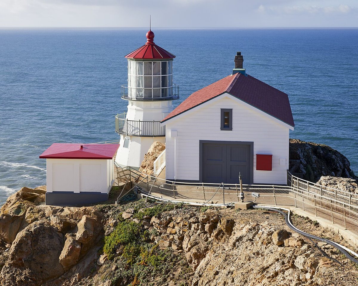
Point Reyes is the trip that requires committing to a full day, and it rewards that commitment better than almost anywhere else on this list. The peninsula juts out into the Pacific along the San Andreas Fault, which means the landscape shifts constantly, from cypress tunnels to open cattle ranches to cliffs where elephant seals haul out every winter. The lighthouse at the point is a serious pilgrimage, down (and eventually back up) hundreds of steps, and it's often the windiest, foggiest spot in the entire park even when the rest of the peninsula is clear. Drakes Beach and the pastoral zone's dairy ranches offer a gentler alternative if the lighthouse stairs aren't appealing. Drive there via Sir Francis Drake Boulevard, and budget extra time, because the road is slow and the detours — an unmarked overlook, a herd of tule elk — are part of the point.

Tomales Bay
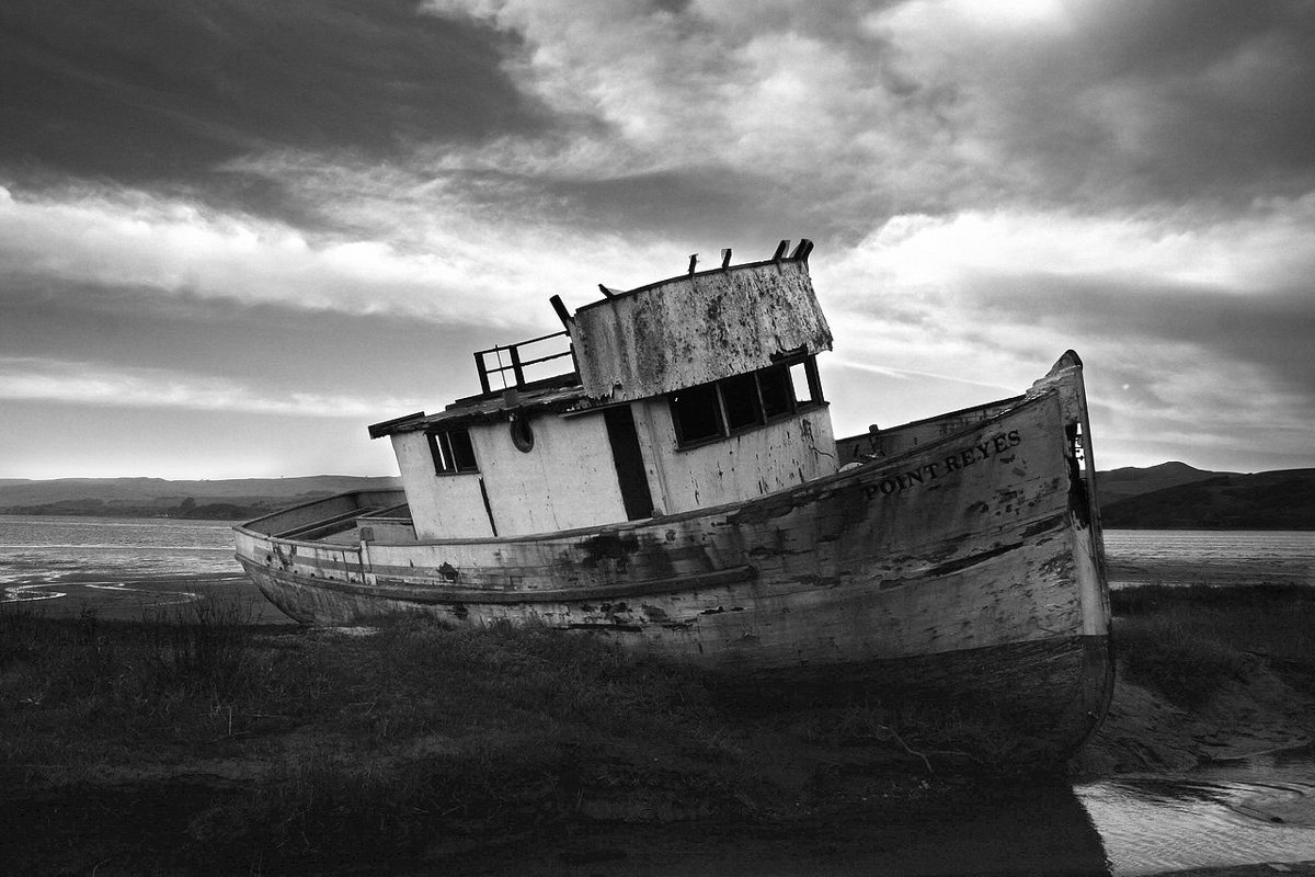
Tomales Bay runs along the inland edge of the Point Reyes peninsula, a long, calm inlet that couldn't feel more different from the crashing coast just a few miles west. This is oyster country, with several working farms where you can buy shellfish straight off the boat and shuck them at a picnic table with a view of the water. Kayaking here is popular for good reason: the bay is sheltered enough for beginners, and on a still night, sections of it glow with bioluminescence. Foodie day-trippers often pair a bay stop with a visit to Point Reyes Station, a one-street town with a bakery and a cheese company that outlasted plenty of trendier openings. There's no way to reach Tomales Bay without a car or an organized tour; the roads out here weren't built with transit in mind.

Sausalito
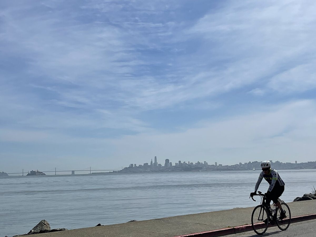
Sausalito gets dismissed sometimes as a tourist trap, and the stretch right off the ferry dock can feel that way on a summer Saturday. But climb a few blocks up the hillside and it's still a genuinely handsome bayside town, houseboats bobbing in a floating community that's been there since the 1960s, narrow streets with views straight across to the city skyline. The ferry ride from the Ferry Building or Pier 41 is worth doing on its own merits, a short crossing that puts the bridge and the skyline behind you at exactly the right angle for photos nobody else's photos quite capture. Rent a bike at the dock and ride the flat path along the water toward Tiburon if the town center starts to feel like a gift shop. Golden Gate Transit buses also connect Sausalito to the city for anyone who'd rather skip the boat.

Inland to the Redwoods
Muir Woods gets the attention because it's closest, but it isn't the only old-growth grove within range of a single tank of gas, and pushing further north into Sonoma County trades crowds for scale.
Armstrong Redwoods State Natural Reserve
Armstrong Redwoods sits outside the small town of Guerneville, about seventy-five minutes north, and the grove here includes trees taller and older than most of what Muir Woods has to offer, with far fewer people under them on an average weekday. The Parson Jones Tree and the Colonel Armstrong Tree anchor the reserve, both survivors of the logging era that cleared most of the surrounding hillsides a century ago. Trails connect into the adjacent Austin Creek State Recreation Area for hikers who want a longer loop with real elevation gain, a good pairing for anyone who's already done the flat walk through Muir Woods and wants something with more effort attached. The Russian River runs close by, which makes this an easy add-on to a Sonoma wine country day for visitors willing to start early. There's no transit option out here; this is a car trip, full stop, best done on a weekday to avoid the summer river-tubing crowds that fill Guerneville's one main street.

Wine Country: Napa and Sonoma
An hour and a half north, give or take traffic on Highway 101 or 121, the hills fold into vineyard rows and the day trip becomes a different kind of outing entirely — less about scenery you walk through, more about a table you sit at for a while.
Napa Valley
Napa Valley earns its reputation, even for residents who roll their eyes at the price of a flight at some of the marquee names. The valley runs about thirty miles from the town of Napa up to Calistoga, and the character changes as you go: more polished tasting rooms and restaurants near the south end, scrappier family operations and hot springs culture further north. Skipping the biggest names in favor of smaller, appointment-only wineries tends to produce a better afternoon and a shorter wait. The Napa Valley Wine Train is a scenic, if touristy, alternative for people who'd rather not drive between stops, and it solves the designated-driver problem outright. Highway 29 gets clogged on weekends, so locals who go regularly tend to leave early or take the Silverado Trail, which runs parallel and carries a fraction of the traffic. Anyone planning a fuller itinerary around Bay Area wine tasting should treat Napa as the anchor stop and build a second, quieter day around Sonoma rather than trying to cram both into a single afternoon.

Sonoma Plaza
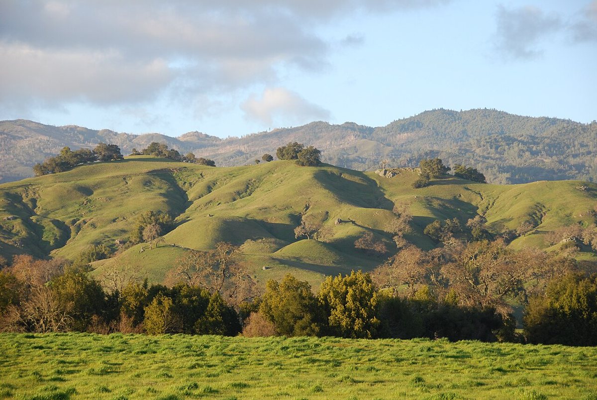
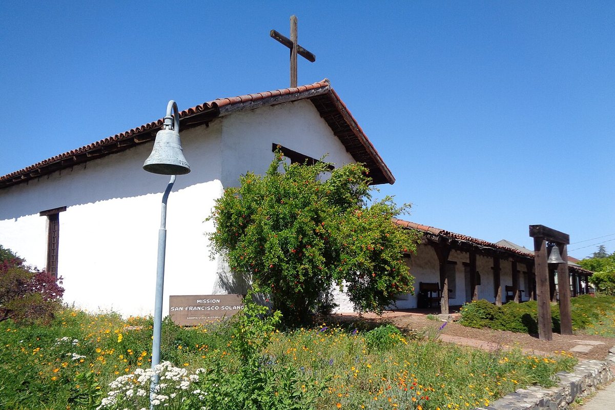
Sonoma moves at a slower pace than Napa, and the town's historic plaza is the reason. It's the largest plaza of its kind in California, ringed by adobe buildings that date back to the Mexican and mission era, with a farmers market, independent shops, and a startling number of good bakeries for a town this size. Wineries here tend to be smaller and less produced than their Napa counterparts, which suits people who want to taste something without the marketing budget attached. The plaza also makes a solid home base for exploring Sonoma Valley's back roads by bike, since the terrain is gentler than Napa's and the traffic considerably lighter. Getting here without a car means a Golden Gate Transit connection through Marin or an organized tour bus, since there's no direct rail link.

East to Berkeley and the East Bay
The trip across the bay gets overlooked constantly by visitors chasing coastline, which is a mistake, because it's the easiest day trip on this entire list logistically and one of the richest culturally.
Berkeley
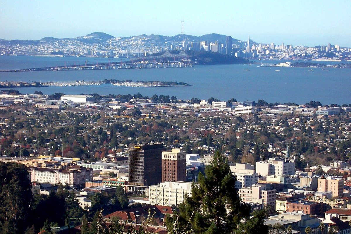
Berkeley is a college town that happens to sit across the water from a major city, and the combination produces a specific texture: bookstores that have survived four decades of retail collapse, a food scene that basically invented California cuisine as a concept, and a campus built around a campanile visible from most of the flatlands below it. The UC Berkeley campus is free to wander, with a botanical garden and a natural history museum worth building an hour or two around. Telegraph Avenue still carries some of its old countercultural energy, while Fourth Street's shops cater to a different, more upscale crowd entirely. BART makes this trip almost embarrassingly simple: a straight shot from downtown San Francisco to the Downtown Berkeley station, no driving, no parking, no bridge toll. Oakland sits one BART stop further and rewards a combined day, particularly Lake Merritt, the Fox Theater corridor, and a restaurant scene that has quietly outpaced the city's in several categories over the past decade. Locals who grew up making this trip know that the two towns function almost as one outing, and treating them separately shortchanges both.

South on Highway 1: Half Moon Bay and Santa Cruz
Highway 1 south of the city is where day-trippers go for a coastline that feels rawer and less curated than Marin's, with pumpkin farms, tide pools, and a boardwalk that's been running rides since before anyone alive today was born.
Half Moon Bay
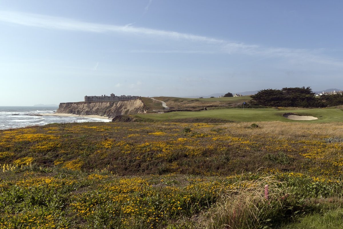
Half Moon Bay sits about thirty miles south along a coastal highway that demands patience and rewards it with cliffside views the whole way. The town itself is small and unpretentious, known for pumpkin farms that turn into a genuine autumn spectacle, tide pools worth timing to low tide, and Mavericks, the surf break that draws some of the biggest waves on the planet and the surfers willing to ride them. Downtown's Main Street has held onto an old-fashioned, slightly sleepy character that plenty of coastal towns have traded away for gift shops. The drive along Highway 1 is the whole point for a lot of visitors, so budget extra time rather than treating it as a commute. There's no direct transit down; this one belongs to drivers and dedicated cyclists.
Santa Cruz Beach Boardwalk
Santa Cruz sits roughly ninety minutes south, far enough that it functions as a full-day commitment rather than a quick outing, and it's worth every one of those minutes. The Santa Cruz Beach Boardwalk is one of the last old beachfront amusement parks left on the West Coast, with a wooden roller coaster that's been operating since the 1920s and a carousel that still runs on a working organ. Beyond the boardwalk, the town has a surf culture and a university-town irreverence that make it feel distinct from anywhere else on this list, plus a natural bridge formation just offshore that gives one of the local beaches its name. Highway 17 over the mountains is the faster route but a genuinely stressful drive for anyone unfamiliar with it; Highway 1 down the coast takes longer and delivers better scenery. There's no rail connection, though regional bus service exists for the patient. Pair the boardwalk with a walk along West Cliff Drive, where surfers ride a break within view of the sidewalk and the Pacific stretches out with nothing between you and Japan, a fact that tends to reset anyone's sense of scale after a week of staring at a laptop.


Planning the Trip: What Actually Matters
A few practical notes that make the difference between a good day and a frustrating one.
- Check current hours, seasonal closures, and parking or shuttle reservation requirements before you go, especially for Muir Woods and other National Park Service sites, since these change without much warning.
- Bring layers no matter the season or the direction. Point Reyes and Stinson Beach can run twenty degrees cooler and windier than Napa on the same afternoon.
- Weekend traffic on Highway 1, Highway 29, and the Golden Gate Bridge approach can add well over an hour to a trip that should take thirty minutes. Early starts help more than any route-planning app.
- Golden Gate Transit and BART cover more of this list than most visitors assume, particularly Berkeley, Sausalito, and seasonal service to Stinson Beach and Marin.
- A day trip focused on hiking pairs well with a broader look at the region's trail network; anyone building out a hiking-heavy weekend should treat this as one stop among several.
None of this is secret information, exactly. Everyone who has lived here more than a summer has their own version of this list, their own argument for Sonoma over Napa or Stinson over Muir Beach, and their own strong feelings about which stretch of Highway 1 to avoid on a Saturday. What ties it together is the same thing that makes the city itself bearable through a long gray June: the exits are close, the geography is absurdly generous, and thirty minutes in almost any direction buys you sun, or redwoods, or a plate of oysters with a view that has nothing to do with a laptop. For families weighing which of these actually suit kids and strollers, it's worth cross-referencing against a broader guide to family-friendly outings around the city before committing to a full day on the road. Whichever direction you pick, the fog will still be there when you get back. It always is.