Best Hikes near San Francisco You Shouldn't Miss
From Lands End's fog-wrapped bluffs to the redwood canyons of Mount Tamalpais, a local's exhaustive route through the trails that make this coastline worth the climb.
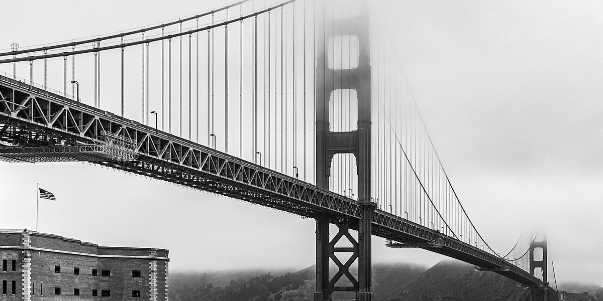
Just after seven on a Tuesday morning in October, the fog over Lands End was still deciding what kind of day this would be. It sat low across the cypress windbreak, thick enough that the container ships past Point Bonita registered only as foghorns, not shapes. Twenty minutes later, near the Legion of Honor, that same fog had lifted into a ceiling, and the city sat in full sun. That kind of morning is the real subject of the best hikes near San Francisco, more than any ranked list of summits could ever be. The marine layer runs the show out here, and every trail on this list has its own relationship with it, from the ones that hide in it happily to the ones you should only attempt once it has cleared.
This city and the land around it never needed to manufacture scenery, and it hasn't had to import much of a hiking culture either. The trails below range from a paved staircase in the Presidio to a genuine wilderness crossing on Mount Tamalpais, and they're grouped by where you'd actually go: inside the city limits, north across the Golden Gate Bridge into Marin, south down the Peninsula, and one solid reason to cross the bay into the East Bay hills. None of these require special gear beyond decent shoes and a windbreaker. Most require a plan for fog, parking, or both.
In the City: The Best Hikes Near San Francisco You Can Reach Without a Car
San Francisco's in-city trails get dismissed by people who think a real hike needs a trailhead sign and a parking lot. That's a mistake. The four below cover open bluff, second-growth forest, and two summits, all reachable by Muni, and all worth doing before you ever cross a bridge.
Lands End Trail
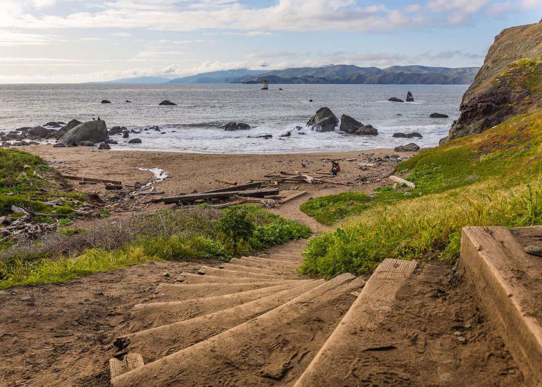
Lands End is the trail locals send visitors on when they want to prove the city has a coastline that can compete with Big Sur, at least for a mile and a half. The path runs along the bluffs from the Lincoln Park side near the Legion of Honor out toward the Sutro Baths ruins, mostly flat and shaded by wind-bent cypress, with breaks in the tree line that open onto the Golden Gate, the Marin headlands, and the shipwrecks visible at low tide near Mile Rock. It's a short, moderate walk in general terms, doable in under two hours round trip with time to poke around the ruins. The insider move is timing: go early, before the fog burns off, because the light through the cypress at 8 a.m. is better than anything you'll get at noon, and the parking lot at El Camino del Mar fills fast on weekends. The 1 California and 38 Geary lines both get you close if you'd rather not deal with parking at all.

The Presidio's Batteries to Bluffs Trail
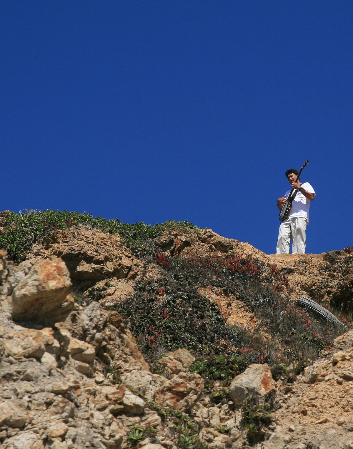
The Presidio does not get enough credit for being a genuine hiking destination rather than just a scenic backdrop for the bridge. The Batteries to Bluffs Trail threads past the old coastal defense batteries, concrete bunkers half swallowed by ice plant and native grasses, down a long staircase to Marshall's Beach and Baker Beach. It's a compact loop, but a steep one, with real elevation change packed into a short distance, and it connects directly to the Coastal Trail if you want to extend the day toward the bridge itself. What you get for the climb is a bunker's-eye view of the Golden Gate that most bridge photos never show, plus a decent chance of watching container ships pass almost at eye level. Spots near Langdon Court are limited, so this is a good one to reach by PresidiGo shuttle or the 43 bus, and it's worth checking current Presidio Trust maps before you go, since some connector trails close periodically for restoration.

Mount Sutro
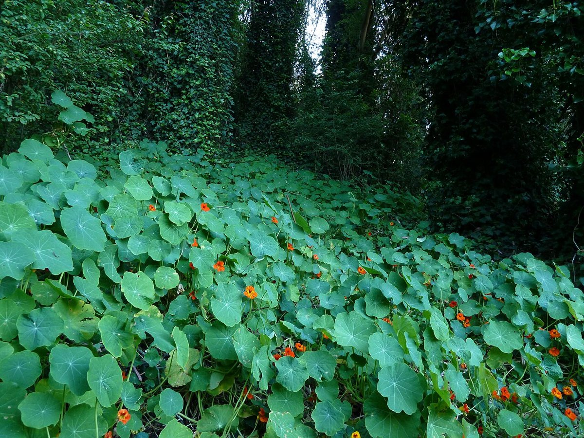
Mount Sutro is the closest thing San Francisco has to actual forest, a dense stand of eucalyptus, cypress, and Monterey pine planted in the nineteenth century and left mostly alone since. The trails through the Interior Greenbelt climb steadily from the edge of UCSF's campus to a summit with partial views west toward the ocean, though the tree cover means this is less about panoramas and more about the change in air itself: it's noticeably cooler and quieter than the streets a few blocks away, and the fog tends to hang in the canopy longer than it does over open ridgelines. Trail signage has improved but is still inconsistent in spots, so a downloaded map helps. Access points exist off Clarendon Avenue and Medical Center Way, both a short walk from the N Judah or the 6 Haight/Parnassus line.

Twin Peaks
Twin Peaks gets the tourist crowd for the overlook and the parking lot at the top, and that's fine, but the better version of this hike starts lower, on the trails that climb up from Portola Drive or Christopher Playground through native grassland before joining the paved summit loop. Doing it this way earns the view instead of driving to it, and the view itself is the one people actually mean when they say they can see the whole city: downtown, the bay, both bridges on a clear day, and the fog pouring through the Golden Gate on the days it isn't clear. Wind at the top is relentless regardless of season, so a jacket matters even on warm days below. The summit lot is a known target for smash-and-grabs, so leave nothing visible in a parked car, and consider the 37 Corbett bus instead.


North to Marin: Bigger Views, Longer Days
Cross the Golden Gate Bridge and the terrain changes fast, from city grid to genuine coastal wilderness within twenty minutes. The five hikes below run the gamut, an easy valley walk at one end and a full-day mountain crossing at the other, and they're the reason people who live here rarely feel the need to fly anywhere for a weekend outdoors.
Marin Headlands: Tennessee Valley and the Coastal Trail
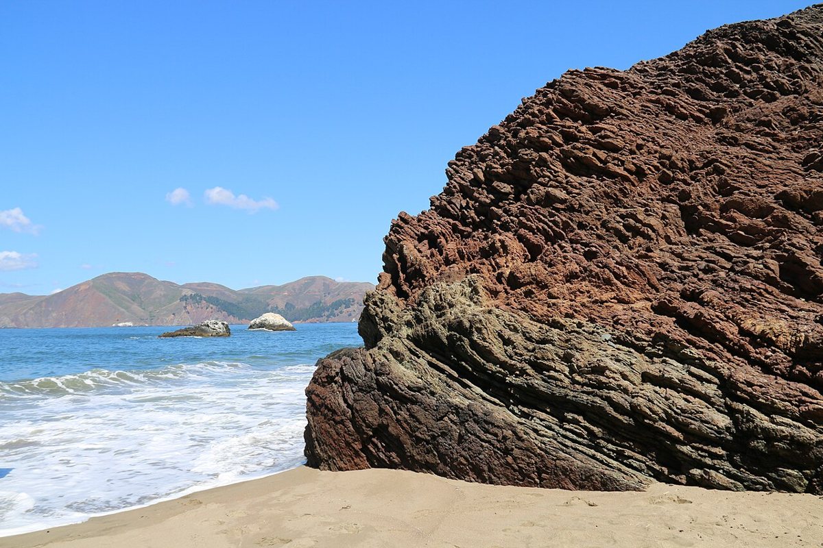
The Marin Headlands function as San Francisco's front yard, close enough for a half-day trip and wild enough that it doesn't feel like one. Tennessee Valley Trail is the easy entry point, a gentle walk along a creek bed out to a small cove beach, manageable for almost anyone and popular enough that the lot fills early on weekends. For more effort, the Coastal Trail climbs along the bluffs past old military bunkers and the Point Bonita Lighthouse turnoff, with views back at the city that make clear why this stretch of coastline is protected land rather than another subdivision. Rodeo Beach, at the base of the headlands, is worth building into either route as a turnaround point, with its black sand and the lagoon behind it usually loud with shorebirds. Fog here can be thick even when the city is clear, so check conditions separately rather than assuming one forecast covers both sides of the bridge.

Mount Tamalpais State Park: Matt Davis, Steep Ravine, and the Dipsea
Mount Tamalpais is the mountain that gives the whole Bay Area its sense of scale, visible from ridgelines all over San Francisco and worth the drive up Highway 1 or 101 to Panoramic Highway on its own terms. The classic loop strings together the Matt Davis Trail, which contours across open grassland with ocean views for miles, the Steep Ravine Trail, which drops through redwood canyon alongside a creek and includes a wooden ladder bolted to a rock face, and a stretch of the historic Dipsea Trail connecting back toward Stinson Beach or Muir Woods. This is a full-day hike for most people, with real elevation change and enough trail junctions that a map or a downloaded GPS track is worth the trouble. The payoff is a single loop that covers ocean, redwood, and open mountain terrain that would take three separate trips almost anywhere else in California. The main trailheads fill before ten on clear weekends, so an early start isn't optional so much as required.
Muir Woods
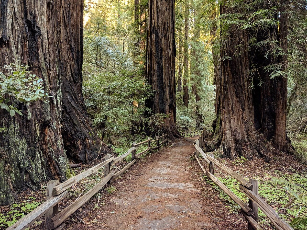
Muir Woods is the redwood grove most visitors picture when they picture Northern California, and it earns the reputation even with the crowds. The main loop along Redwood Creek is flat, paved in sections, and accessible enough for almost anyone, running beneath old-growth coast redwoods that were already centuries old when the park was established. The busier trail sees more foot traffic than any other on this list, but climbing even slightly higher onto the Ben Johnson or Dipsea connector trails thins the crowd out fast and adds real elevation without much extra distance. Space at the grove itself is tightly limited and reservations are typically required for both cars and shuttles, so check current rules before driving down, since the policy has shifted more than once in recent years. Going right at opening, before the tour buses arrive, remains the best trick anyone has for a quiet Muir Woods.

Point Reyes National Seashore: Tomales Point and Chimney Rock
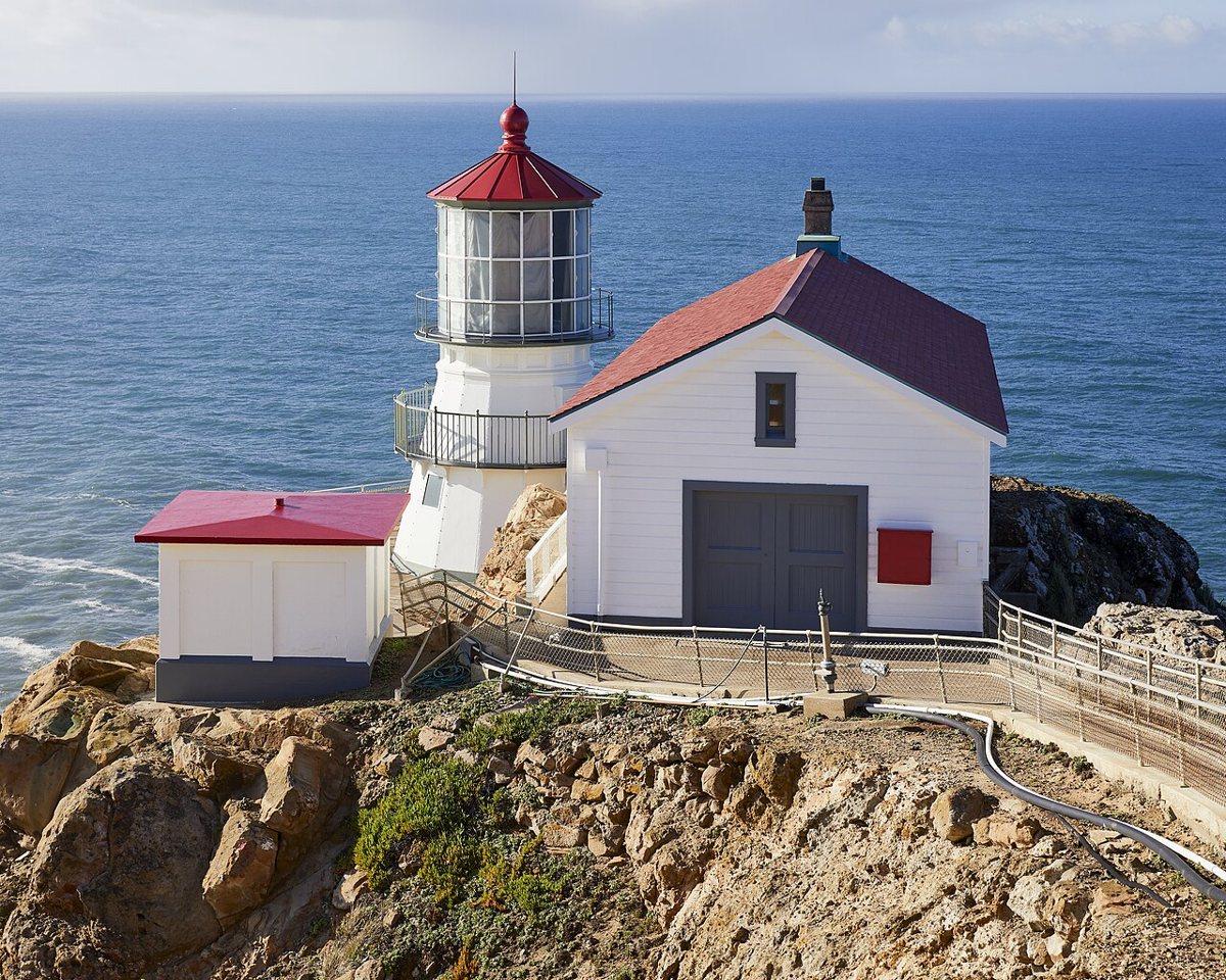
Point Reyes sits far enough out that it stops feeling like a Bay Area day trip and starts feeling like an actual departure, which is exactly the point. Tomales Point Trail runs along a narrow finger of land between Tomales Bay and the open Pacific, through grassland that supports a resident tule elk herd you'll almost certainly see if you're paying attention. It's a longer out-and-back with minimal shade, so wind and sun exposure matter more than elevation. Chimney Rock, near the lighthouse, is a shorter and easier walk but times its own reward around the calendar: elephant seals haul out on the beaches below in winter, and wildflowers cover the headland in spring. Both trailheads sit well past cell coverage, and the drive out on Sir Francis Drake Boulevard takes longer than the map suggests, so this is a full-day commitment even before the walking starts.

Angel Island
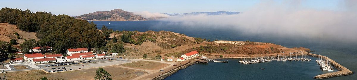
Angel Island is the only hike on this list that requires a boat, and that alone makes it feel like an event rather than an errand. The perimeter trail, known as the Perimeter Road, circles the island at a gentle grade with the kind of 360-degree views that no mainland trail can match, San Francisco on one side, the Marin headlands on another, Mount Tamalpais rising behind. A steeper spur climbs to Mount Livermore, the island's summit, for the full panorama. Beyond the scenery, the island's Immigration Station is a genuinely important historic site, the West Coast counterpart to Ellis Island, and worth building time into the day to visit rather than treating as an afterthought. Ferries run from Tiburon, Sausalito, and San Francisco's Pier 41, and checking the current ferry schedule before you go matters more here than on any other trail, since missing the last boat back is a real possibility.

South on the Peninsula
The Peninsula's trails get overlooked by people fixated on Marin, which is a mistake given how much solitude is still available twenty minutes south of the city.
Sweeney Ridge, Pacifica
Sweeney Ridge holds a specific piece of California history: it's the spot where a Spanish expedition first sighted San Francisco Bay in 1769, marked now by a modest monument at the ridgeline. Getting there means a steady climb from either the Sneath Lane or Skyline College trailheads, through coastal scrub that opens into wide views reaching the ocean on one side and the bay on the other on clear days, which in Pacifica means more often than you'd expect once the marine layer has burned off by midmorning. The ridge catches wind hard even when the flatlands below are calm, so a layer beyond what you'd wear driving up is worth carrying. This is a quieter trail than almost anything in Marin, in part because Pacifica still reads to outsiders as a beach town rather than a trailhead, and locals are in no hurry to correct that impression.
Purisima Creek Redwoods
Purisima Creek Redwoods, tucked into the hills above Half Moon Bay, is the closest thing the Peninsula has to a Marin-style redwood canyon, and it draws a fraction of the crowd. Trails drop from the ridge parking area down through second-growth redwood and Douglas fir along the creek, with options to loop back up through more open, sunnier terrain if a straight there-and-back climb isn't appealing. Mountain bikers share several of these trails, so staying aware on the descents matters more than it does at Muir Woods. The redwood canopy holds fog and moisture longer than the exposed ridge above it, which makes for a noticeably cooler walk on hot Peninsula days, and the upper parking area often has room even when Purisima's more famous cousins to the north are turning cars away.
East Bay: Mount Diablo State Park
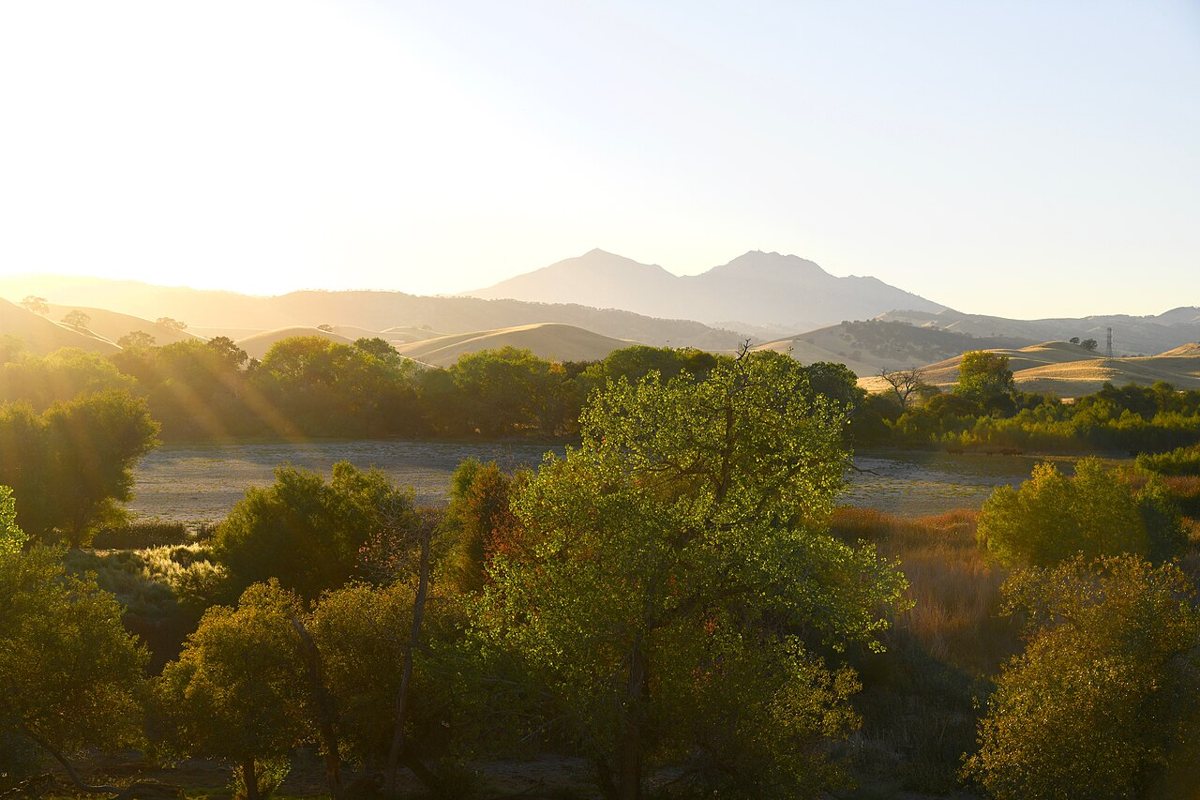
Mount Diablo stands alone on the east side of the bay, both literally and in terms of what it offers: on a clear day, the summit is one of the highest points from which you can see so much of California at once, with sightlines reported to stretch across a huge stretch of the state. The mountain's trail network is extensive, ranging from short interpretive loops to longer routes that gain serious elevation over several miles, and Mitchell Canyon and Juniper Trail are two reliable starting points depending on how much climbing you want. Spring is the strongest season here, when wildflowers cover the lower slopes, though it's also when rattlesnakes become more active on sun-warmed rock, so watching the trail edges matters. Summer heat on the exposed upper slopes gets serious, well past what the bay-moderated city ever sees, so an early start and real water supply aren't optional. The drive out of the city takes close to an hour each way, which is exactly why this belongs on the list as the East Bay's answer to everything Marin does with redwoods and coastline.

Practical Matters Before You Go
A few things apply across almost every trail on this list, and skipping them is how a good hike turns into a cold, damp, or expensive mistake.
- Layers matter more than technical gear. Fog can drop the temperature ten degrees between the parking lot and the ridgeline, and it can lift just as fast. A windbreaker that packs small beats a heavier jacket you'll end up carrying.
- Parking fills early at every trailhead worth visiting, particularly in Marin on weekends. Arriving by 8 or 9 a.m. isn't about beating crowds for their own sake, it's often the only way to park at all.
- Crossing the Golden Gate Bridge on foot or bike is free and genuinely worth doing once, but check current toll and access information if you're driving, since policies and lane configurations change.
- Dogs are welcome on many Marin and Peninsula trails but restricted in parts of the Presidio, Golden Gate National Recreation Area units, and Point Reyes, often with leash rules that vary by specific trail segment. Checking ahead saves an argument with a ranger.
- Tides matter for anything touching the coast, including Lands End, Rodeo Beach, and the Marin Headlands' Coastal Trail. A rising tide can cut off beach access that looked fine an hour earlier, so a tide chart is worth five minutes before any coastal hike.
- Cell service disappears fast at Point Reyes, on much of Mount Tamalpais, and in stretches of Mount Diablo. Downloading a map in advance is not excessive caution, it's basic planning.
None of this is meant to make the hills sound difficult to reach. It's the opposite: this concentration of coastline and redwood and open ridge within an hour or two of downtown is rare enough that most cities would build their entire tourism identity around a fraction of it. What separates the trails above from a generic list is that each one solves a different kind of afternoon. Lands End and the Presidio work when you have two hours and no car. Point Reyes and Mount Tamalpais work when you've cleared the whole day and want to feel like you left the Bay Area without actually leaving it. Angel Island works when someone visiting wants proof that the bay itself is part of the landscape, not just a backdrop to it. For a fuller sense of how to fill out the rest of a visit, this site's guide to the best things to do in San Francisco covers what to do once you're back down at sea level, and anyone hiking out of the Presidio or Lands End should plan a stop at a good spot for something warm afterward, since nothing on these trails will feed you.
The honest advice, after enough mornings on enough of these trails, is to stop checking the forecast for sun and start checking it for fog instead. A gray morning at Lands End or the Marin Headlands isn't a consolation prize. It's the version of this landscape that made people write about it in the first place, long before anyone needed a list to tell them where to go.